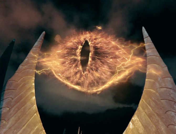
“After revealing last week that a pilot installation of controversial, buggy border-security scanner towers had finally been accepted into service, the US government has now admitted that the project is a technical failure,” Lew Page observes.
Plans to build a so-called ‘virtual fence’ along the Mexican border will proceed, but there will be long delays and very little of the current technology will be used. The expected rollout of the first 100 mile stretch of scanner-swept, networked border has now been moved back to 2011. The planned line south of Tucson in Arizona was to have been huddled-mass proofed by this year.
The initial piece of the fence — nine sensor-laden towers, collectively called “Project 28” — has been in trouble, for a while. But yesterday, the Government Accountability Office revealed a whole host of new problems. Like using inappropriate commercial software, originally meant for police dispatchers, to keep track of cross-border traffic. Like designing and developing by the whole thing “with minimal input from the intended operators of the system, including Border Patrol agents.” Oops.
Boeing, the big contractor behind the effort, tells the Washington Post that “the initial effort, while flawed, still has helped Homeland Security apprehend 2,000 illegal immigrants since September. It estimated in 2006 that it would spend $7.6 billion through 2011 to secure the entire 2,000-mile southern border, an ambition that was meant to win support from conservatives for legislation creating a guest-worker program and a path to legalization for 12 million illegal immigrants.”
But officials said yesterday that they now expect to complete the first phase of the virtual fence’s deployment — roughly 100 miles near Tucson and Yuma, Ariz., and El Paso, Tex. — by the end of 2011, instead of by the end of 2008…
“The total cost is not yet known,” testified Richard M. Stana, the GAO’s director of homeland security issues, because DHS officials “do not yet know the type of terrain where the fencing is to be constructed, the materials to be used, or the cost to acquire the land.”
“The pilot virtual fence included nine mobile towers, radar, cameras, and vehicles retrofitted with laptops and satellite phones or handheld devices. They were to be linked to a near-real-time, maplike projection of the frontier that agents could use to track targets and direct law enforcement resources,” the Post adds. Pagey has long called these sensors the Eye-o-Sauron™. (If you don’t get the reference, click away immediately.) “The cameras, much like the Eye of Sauron in the films, often struggled to spot unwelcome visitors,” he notes. For example…
GAO investigators said that Boeing’s software could not process large amounts of sensor data. The resulting delays made it hard for operators in a Tucson command center 65 miles to the north to lock cameras on targets. Radar systems were also triggered inadvertently by rain and other environmental factors. Cameras had trouble resolving images at five kilometers when they were expected to work at twice that distance, Stana said.
By Noah Shachtman
February 28, 2008 | 10:19:31 AMSource: wired.com