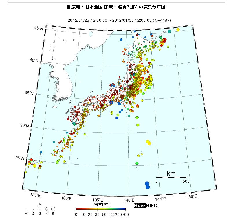
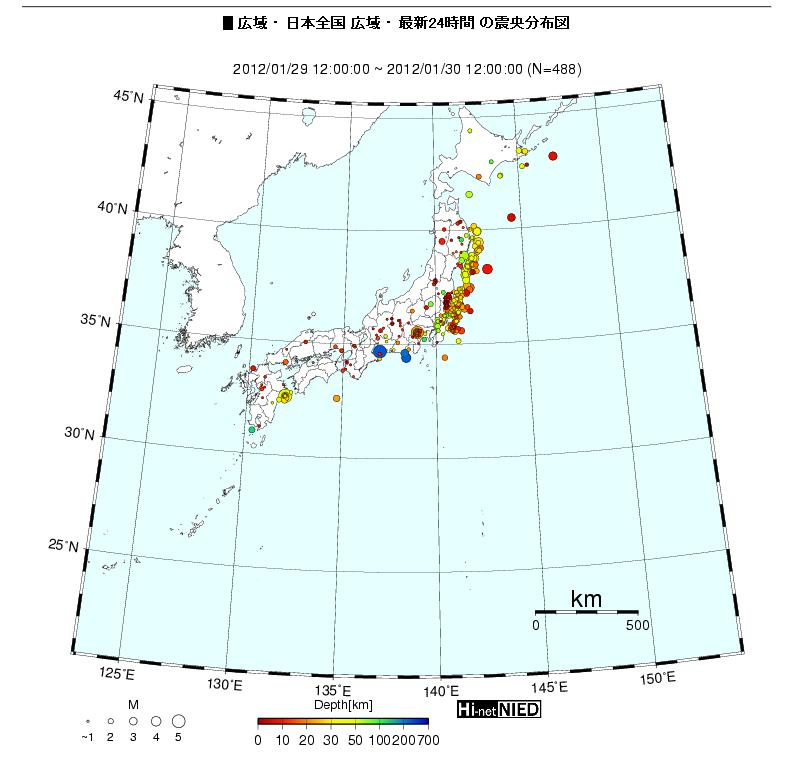
– Earthquake Map of Japan in the 1st Month of 2012 (EX-SKF, Jan. 29, 2012):
(You can’t even see Japan in the first map.)
From the National Research Institute for Earth Science and Disaster Prevention website, “Hypocenter map“.
Last 30 days:
Last 7 days:
Last 24 hours:
A lot of Magnitude 4 quakes, and a good number of Magnitude 5 quakes. M5 is moving to the central Japan, right near Mt. Fuji. Numerous small, shallow quakes in western Japan.


Would you mind if I quote a few of your blog posts as long as
I provide credit and sources returning to your blog:
http://www.infiniteunknown.net/2012/01/30/japan-earthquake-map-of-january-2012-shows-massive-amount-of-quakes/.
I am going to aslo ensure to give you the proper anchortext hyperlink using your blog title:
Japan Earthquake Map Of January 2012 Shows MASSIVE Amount Of Quakes.
Be sure to let me know if this is acceptable with you. Many thanks
@Caroline,
Sure!